UPDATE: Tuesday, April 20th, 2010
Responder is used for documenting incidents and the response to them. Creating a new incident is easy:
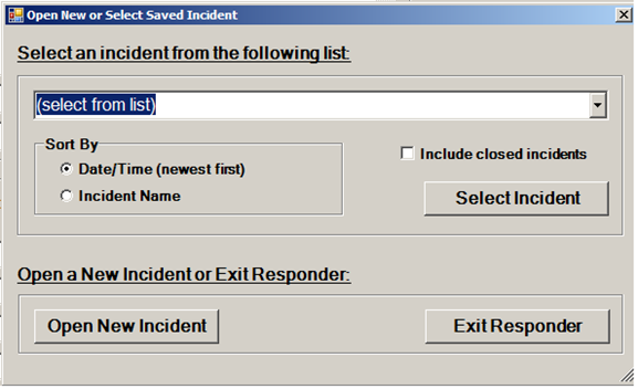
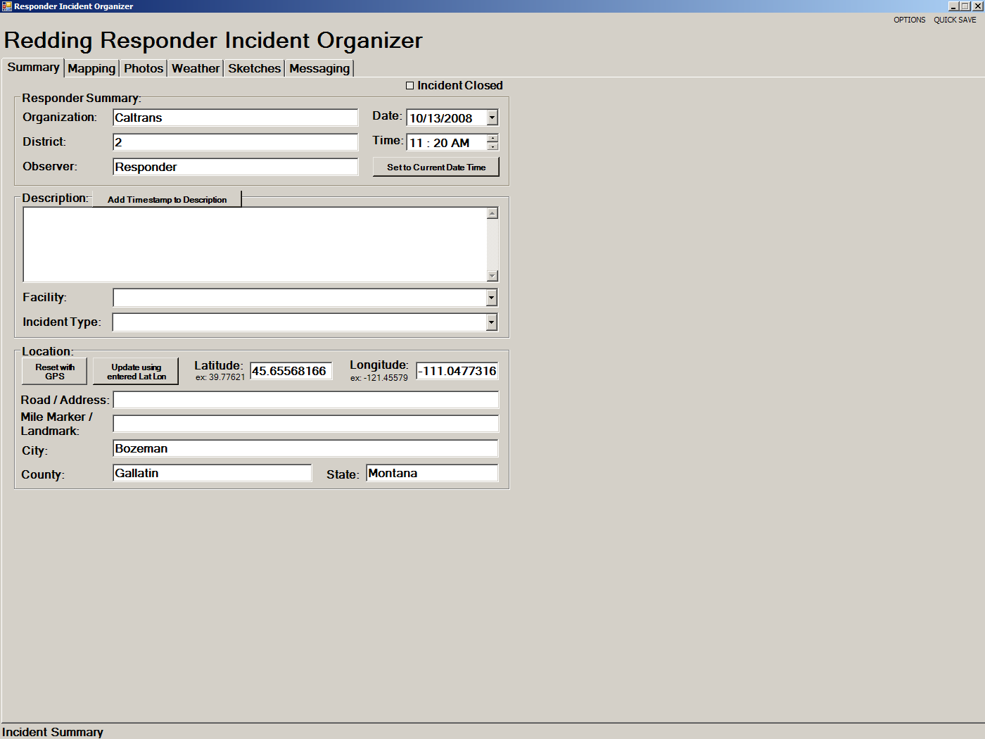
Clicking the "Open New Incident" button shows the summary tab of a new incident. The organization, district, person or team documenting the incident, as well as description and location of the incident can be entered here. The current date and time, and the GPS coordinates of the current position can be filled in automatically by clicking respective buttons. If mapping information is available at the current location, you are offered the chance to select the nearest road or address and have the Road/Address, City, County, and State boxes filled in automatically as well.
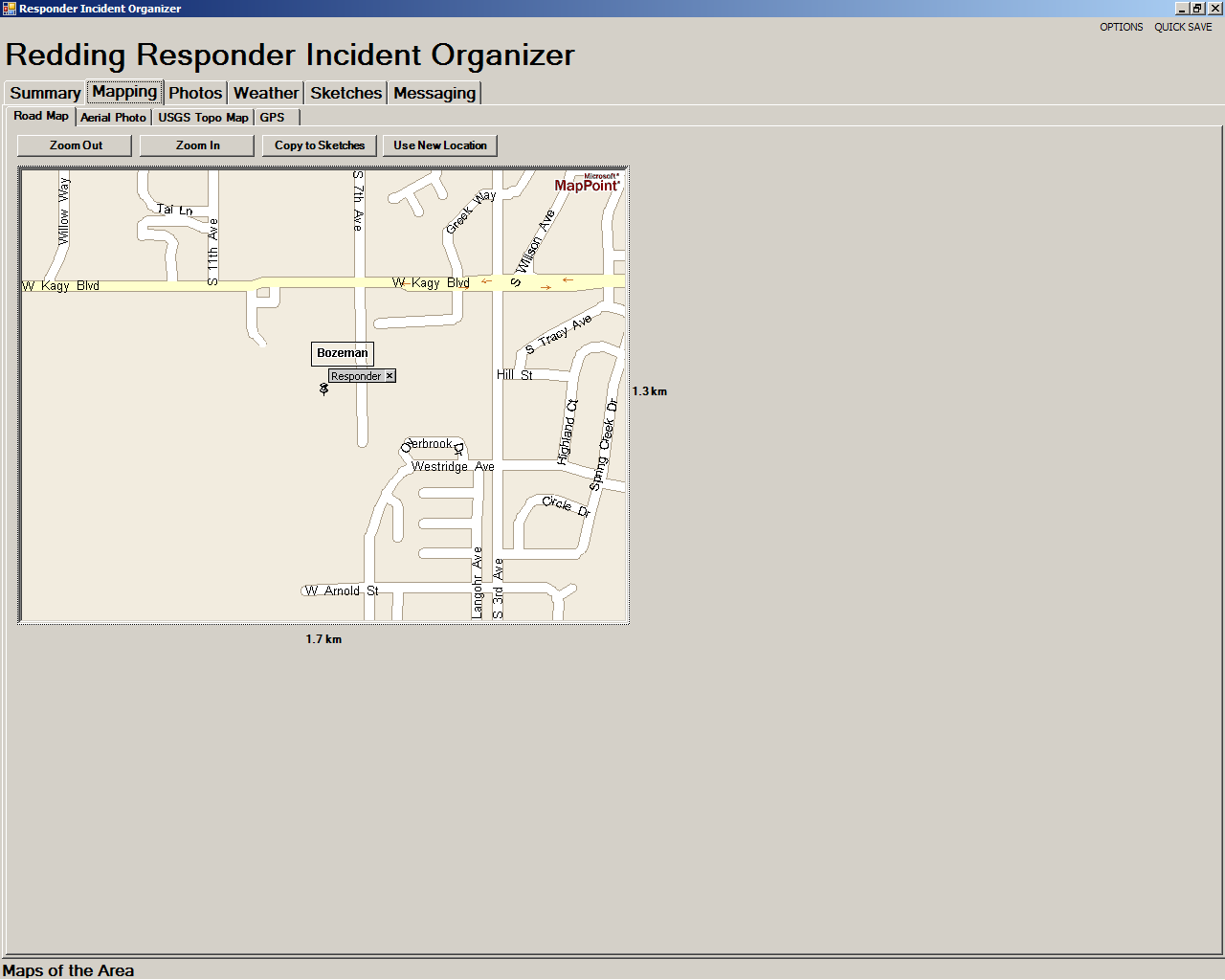
The mapping tab shows street maps, aerial photos or topographical maps of the surrounding area:
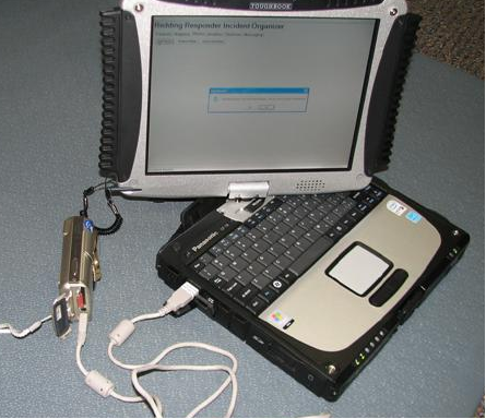
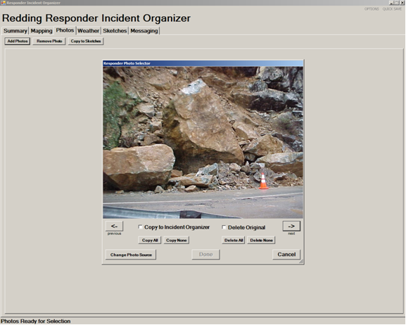
Photos can be added to the incident directly from the camera:
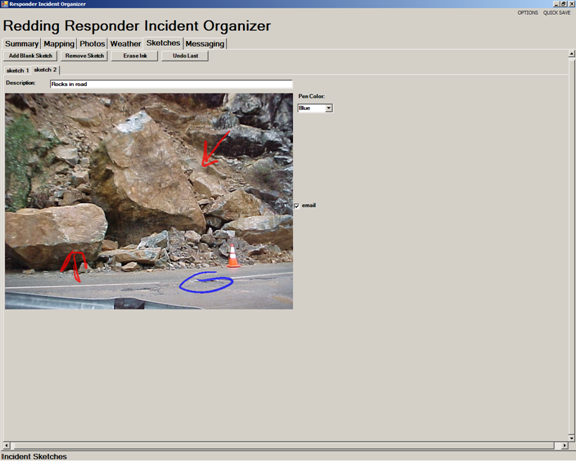
And even drawn on:
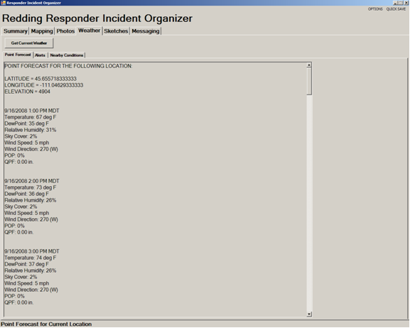
You can get current weather, forecasts, and even National Weather Service alerts:
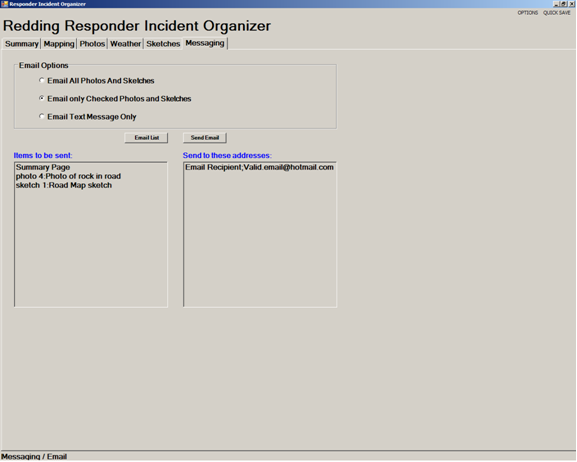
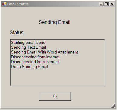
And send it all to headquarters via email:
